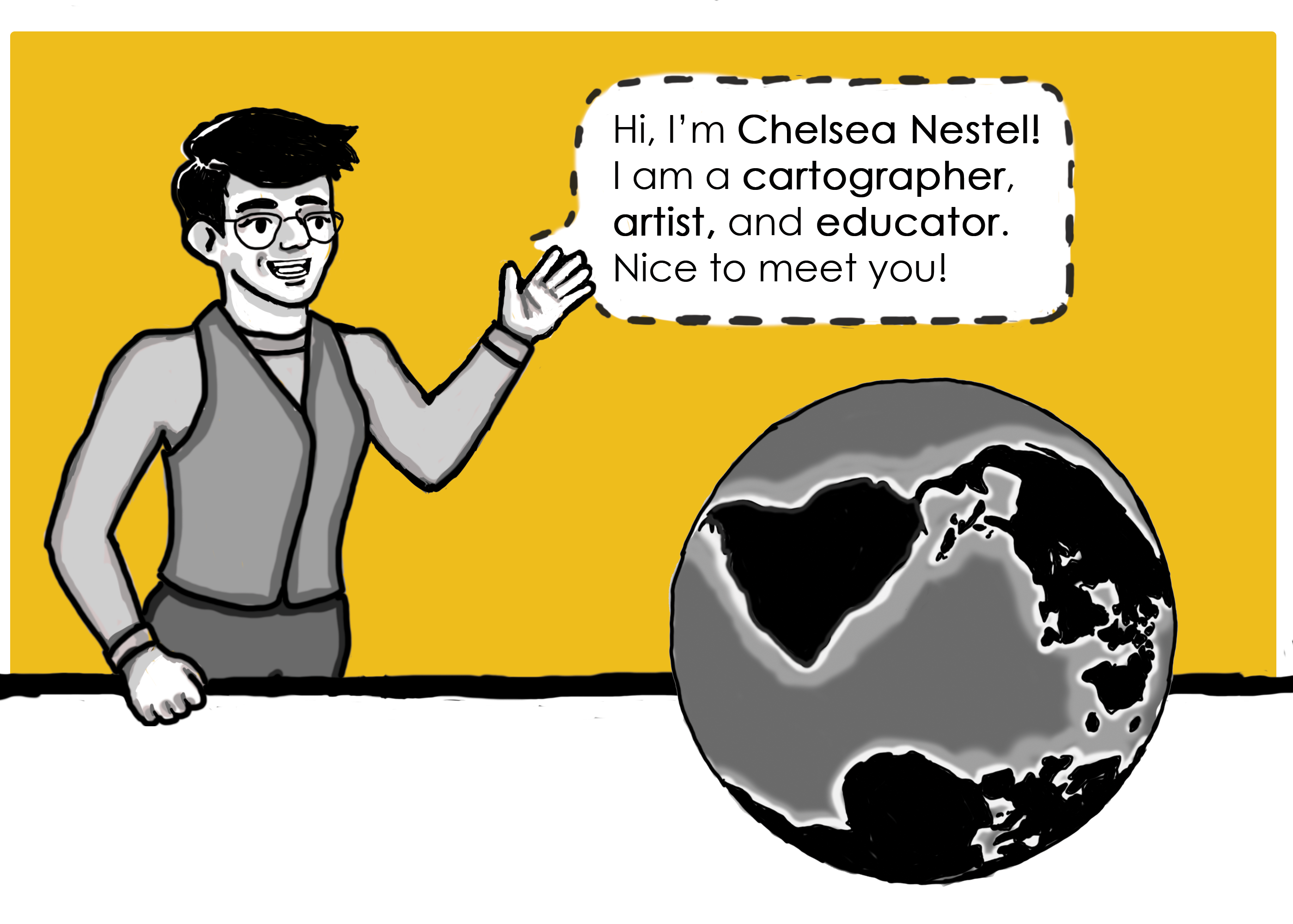
Hi, I'm Chelsea Nestel (they/she!)
I am a cartographer, artist, and educator. I am completing my Ph.D. in Cartography and GIS at the University of Wisconsin – Madison, studying cartographic aesthetics. You can read more about my research or check out my CV below!
I’m a parent to a little boy, and I enjoy family time outdoors! When I'm not making or researching maps, I can be found at Newport State Park looking up at the band of the Milky Way with my family. On cloudy nights I'm at home reading, crocheting, playing video games and tabletop roleplaying games.
Want to connect? Say hello to me on LinkedIn or send me an email!
Thanks for stopping by!
Chelsea Nestel curriculum vitae
Cartographic Aesthetic Theory | Cartographic Education| Art and Cartography | Emotion and Mapping | Experiential Graphic Design (XGD)
Teejop, Ho-Chunk Land | 550 N Park St. Madison, WI 53706
Education
Ph.D., Cartography | Art Minor | University of Wisconsin – Madison Fall 2016 – Spring 2023
Dissertation Title: Theorizing “Really Good Maps” Aesthetics in Cartographic Epistemology
Committee: Dr. Robert Roth, advisor (Geography/Cartography), Dominic Lopes, F.R.S.C. (Philosophy/Aesthetics), Dr. Mark Monmonier (Geography/Cartographic History), Dr. Keith Woodward (Geography/Social Theory), Dr. Daniel Spaulding (Art History)
M.S., Cartography | University of Wisconsin – Madison Fall 2013 – Spring 2016
Thesis Title: Designing an Experience: Maps and Signs at the Archaeological Site of Ancient Troy
Committee: Dr. Robert Roth, advisor (Geography/Cartography), Dr. William Alyward (CAMS/Archaeology), Dr. Ian Muehlenhaus (Geography/Cartography)
B.S., Geography (GIS) | B.A., Anthropology (Archaeology)| B.A., Classics | History Minor Fall 2009—Spring 2013
Pennsylvania State University, Schreyer Honors College Phi Beta Kappa, Summa Cum Laude
Dual Honors in Geography and Classics and Ancient Mediterranean Studies (CAMS)
Honors Thesis Title: Anthrographic: A Humanities Visualization Program
Advisors: Dr. Roger Downs (Geography), Dr. Paul Harvey (CAMS), Dr. Mary Lou Zimmerman-Munn (CAMS/Archaeology)
Publications and Presentations
Peer-reviewed Publications
Nestel, C. 2022. Theorizing “Really Good Maps”: Cartography and Aesthetic Philosophy. International Journal of Cartography (invited MS under review)
Bley, K., Caldwell, K., Kelly, M., Lloyd, J., Roth, R.E., Andersen, T., Bonds, A., Plevin, J., Madison, D., Spencer, C., Sims, T., Archuleta, C., Ellner, Z., McDowell, T., Nestel, C., Noterman, E., Smith, N., Velednitsky, S., Underwood, N., Darlington, R., Gao, Y., George, A., Miller, L., Prestby, T., Vongkusolkit, J., 2021. “A Design Challenge for Transforming Justice.” GeoHumanities 8 (1), 344-365. DOI: https://doi.org/10.1080/2373566X.2021.1986100
Roth, R.E., Nestel, C. et al. 2020. “Madison and Vicinity: A Tangible Map Quilt.” Cartographic Perspectives, 95, 50-56. DOI: https://doi.org/10.14714/CP95.1615
*Nestel, C. 2019. “Designing an Experience: Signs and Maps at the Archaeological Site of Ancient Troy.” Cartographic Perspectives, 94, 25-47. DOI: https://doi.org/10.14714/CP94.1504
Nestel, C. 2019. Aesthetics and Design. The Geographic Information Science & Technology Body of Knowledge(1st Quarter 2019 Edition), John P. Wilson (Ed.). DOI: https://doi.org/10.22224/gistbok/2019.4.14
Roth, R.E., Young, S., Nestel, C., et al. 2018. “Global Landscapes: Teaching Globalization through Responsive Mobile Map Design.” The Professional Geographer, 395-411. DOI: https://doi.org/10.1080/00330124.2017.1416297
* Awarded Best Cartographic Perspectives Student Paper 2019
Map Publications
Nestel, C. 2016. Monsters of the United States . In the Atlas of Design, Volume 3., eds. S.V. Matthews, M.E. Elmer, and V.W. Mason. NACIS.
Dooley, M., Bergs, D., Bergs, M., Blatz, J., Brewer, C., Ferzoco, J., Genzmer, D., Glowa, K., Harling, S., Henrick, C., Hoover, D., Kallusky, B., Link, A., Martinelli, N., Nepp, A., Nestel, C., Rader, C., Stallman, T., Valadares, D., Wolf, S., Wood, P., 2016. Mississippi River . In the Atlas of Design, Volume 3., eds. S.V. Matthews, M.E. Elmer, and V.W. Mason. NACIS.
Presentations
Peer Reviewed Extended Abstracts
“Theorizing “Really Good Maps” : Cartography and Aesthetic Philosophy.” | Eurocarto 2022
“Aesthetics in Cartographic Epistemology.” | ICC 202I
“Designing an Experience: Maps and Signs at the Archaeological Site of Ancient Troy.” | ICC 2017
General
“Art as Experimental Cartographic Method: Seeing and Unseeing.” | AAG 2023 Panel Submission
“Designing WI Standards and Curriculum for K-5 Cartography Education.” | AAG 2022 Presenting Author
“Mapping is for Everyone.” | ICC 2021 Art and Cartography ‘Future of Art and Cartography’ Pre-Conference Workshop
“Design and Aesthetics in the GIS&T Body of Knowledge.” | NACIS 2018
“Sum.” | ICC 2017 Art and Cartography Pre-Conference Workshop
“Cartography as ‘Self-Ethnography’: Mapping Memory and Emotion.” | AGS 2017 Invited Presentation
“Designing an Experience” Maps and Signs at Troy.” | AAG 2016
“The Maps and Geographies of Comic Books, Graphic Novels, Science Fiction and Fantasy Literature”| AAG 2016 Panel Discussant
“Designing an Experience: Maps, Signage, and the Tourist Path through Troy.” | NACIS 2015
“Global Madison.” | NACIS 2014 Presenting Author
“The Romanization of the Etruscans: A Geography of Cultural Assimilation.” | AAG 2013
“The National Map: Proposed Updates to Parks and Cultural Layers.” | USGS 2012
“Placement of You-Are-Here Maps: An Empirical Study using Multiple Approaches.” | NACIS 2012 Presenting Author
Posters and Gallery Maps
“The National Map: Proposed Updates to Parks and Cultural Layers.” | NACIS 2013
“Irumani” | NACIS 2013
“Wall Paintings, Wealth and Status in Pompeii.” | AAG 2012
“Mapping Around the World.” Joint poster with K. Martz, E. Aspril, and C. Brewer | PGS / AAG Mid Atlantic Joint Meeting 2012
Map Design Awards and Library Acquisitions
“Monsters of the United States” acquired by the American Geographical Society Map Library| 2017
“An Exploration of Paranormal Madison” acquired by the Arthur H Robinson Map Library| 2017
“Monsters of the United States” featured in the Atlas of Design vol 3| 2016
“An Exploration of Paranormal Madison” awarded second place for “most unique” at WLIA| 2015
“Choose your own Haz-Mat Adventure” winner UW-Madison Design Challenge ($300.00)| 2015
“Monsters of the United States” awarded People’s Choice & 2nd for “most unique” at WLIA| 2014
“The Places We’ve Been!” awarded Honorable Mention in the Atlas of Design vol 2| 2014
Press
Featured in “Field Truthing a Dream” | Hidden Compass 2021
Interviewed in “The future of maps: Cartography in the 21st century” | CNN 2018
Profiled in “4 Amazing Mapmakers who are Redefining Cartography” | Design Inspiration 2018
Featured in Cartographic Gems from Women | Map of the Week 2017
Featured in “The Best New Maps, according to Cartographers” | National Geographic 2016
Grants, Awards and Associations
Research Awards
Cartographic Perspectives Best Student Paper Award: $1,350| 2019
Teaching Awards
UW-Madison L&S University Teaching Fellow: $1,000 |2019
University-wide award for teaching excellence; trained incoming UW L&S TAs as part of award
Research Grants
Trewartha Dissertation Research Grant: $600 | 2020
Molecular Archaeology Group Research Grant: $1,500 | 2014
Trewartha Master’s Thesis Research Grant: $500 |2014
Schreyer Honors College Research Grant: $1,500 | 2011
Academic Fellowships
Phi Kappa Phi National Fellowship: $5,000 | 2013
Phi Kappa Phi Campus Fellowship: $500 | 2013
Academic Awards
University-wide
Student Marshal (highest achieving student), Penn State College of Earth and Mineral Science | 2013
Graduating GPA 3.98
Penn State Evan Pugh Junior Award, given to students in the top .05% of class | 2012
Penn State Brandywine student scholarship: $2000 | 2009
Geography
Penn State EMSAGE Laureate Graduate | 2013
given to the most well-rounded students in the college of Earth and Mineral Sciences
Willard Miller Award for Best Undergraduate Geography Paper | 2013
National Geographic Student Achievement Award | 2013
Balmat Family Fund in Geography for Honors Scholars | 2012
Marie J. and Joseph N. Hedding Scholarship | 2012
Jeff Gockley Memorial Award, given to top rising student in Geography (GIS): $1000 | 2011
Geography Alumni Scholarship: $500 | 2010
Classics
Bermingham Memorial Scholarship for excellence in the study of Latin: $1,300 | 2012
Conference Travel Grants
UW Madison Student Research Grants Competition travel grant: $1200 | 2022
ICA US National Committee NSF travel grant: $1000 | 2021
ICA travel grant: €500 | 2021
UW-Madison Trewartha conference travel grant: $500: | 2021, 2022
NACIS travel grant: $150 | 2013, 2015
UW-Madison Trewartha conference travel grant: $300 | 2015, 2018
Penn State Geography Undergraduate conference travel grant | 2010, 2011, 2012
Professional Memberships
International Cartographic Association (ICA) Art and Cartography Commission
North American Cartographic Information Society (NACIS) Student Director at Large 2022-2023
American Association of Geographers (AAG) Cartography Specialty Group, Education S.G.
American Society for Aesthetics (ASA)
Academic Honor Societies
Phi Beta Kappa (liberal arts) | Phi Kappa Phi (general studies) | Gamma Theta Upsilon (geography) | Phi Alpha Theta (history)
Teaching Experience
Starting as an undergraduate, I have taught, tutored and graded cartography, GIS and human geography for twenty semestersonline and in-person modalities and my students have ranged from undergraduate freshmen to advanced undergraduates, graduate students, and professional students. My students have won major cartography awards from NACIS and CAGIS and become professional cartographers.
University of Wisconsin – Madison, Department of Geography
Graphic Design in Cartography | Geography 572 Photoshop, Mapbox Studio, ArcGIS Storymaps, Web Coding
Lecturer (Online): Spring 2018, Spring 2019
Teaching Assistant (Resident Labs): Fall 2015, Fall 2018, Fall 2020
Continue professionalizing students through lab instruction in graphic design and perception to design considerations, including when to break ‘the rules.’ Students learn storytelling in online mapping and develop a portfolio website to show employers.
Introduction to Cartography | Geography 370 Adobe Illustrator, ArcGIS
Teaching Assistant (Resident Labs): Fall 2013, Spring 2014, Fall 2016, Fall 2017, Fall 2019
Teach professional cartographic design processes to students, from finding, creating and evaluating data to assembling and revising maps, with heavy emphasis on feedback. Map types covered reference and thematic mapping.
Our Digital Globe: An Overview of GIScience and Its Technology | Geography 170 Online ArcGIS Online
Lecturer (Online): Spring 2020. Teaching Assistant (Online): Spring 2017, Summer 2017
Very large enrollment course (250-400 students) providing an overview of geospatial technologies including GPS, GIS, Remote Sensing and Cartography. Labs give students hands on experience with image analysis, GIS, and cartography and draw new students into the Geography major.
Introduction to Geographic Information Systems | Geography 377 ArcGIS
Teaching Assistant (Resident Labs): Spring 2015
Introductory course in Geographic Information Systems covering GIScience and practice, from data creation to spatial data analysis.
Introduction to Human Geography | Geography 101
Teaching Assistant (Online): Spring 2021. Reader / Grader: Fall 2013, Spring 2014, Fall 2017
A ‘Comm-B’ course developing written and oral communication skills through writing two research papers and presenting in lab. Discussion sections taught research and writing skills and exploring socio-spatial relations, processes and representations through discussing some of the most pressing issues of the day.
Pennsylvania State University, Department of Geography
Introduction to Cartography | Geography 361 ArcGIS
Teaching Intern (Resident Labs): Spring 2013
Act as a ‘second TA” to answer student lab questions and provide tutoring as needed; find data to help with student labs.
Mapping Our Changing World | Geography 160 ArcGIS, Garmin GPS
Teaching Intern (Resident Labs): Fall 2011, Spring 2012, Fall 2012
Act as a ‘second TA’ to answer student lab questions and provide tutoring as needed.
Penn State Brandywine 30 – Hour Tutoring Program | Math and Writing Freshman Preparatory Program
Tutor (In-Person Students): Summer 2010
Review basic arithmetic and writing to prepare incoming freshmen for success in college-level courses.
Introduction to Human Geography | Geography 124
Teaching Intern (Online): Spring 2010
Develop weekly discussion questions based on class content, including additional resources, and lead online message board discussions.


 Bio
Bio Maps
Maps Comics
 Research
 Teaching